Book a tour
Devil's Bridge Trail, Sedona, Arizona

Photo: davidpinter, CC BY 3.0, via Wikimedia Commons

Devil's Bridge Trail

Dry Creek Rd · 2–3 hours · Moderate · Free

Walk out onto the largest natural sandstone arch in the Sedona area.

Distance
About 4–6 mi round trip from paved lots, ~1.8 mi from the 4x4 trailhead
Difficulty
Moderate, with a steep final section
Parking
Red Rock Pass at Dry Creek Vista. Shuttle stops at Dry Creek Vista and Mescal

Devil's Bridge is the most photographed arch around Sedona. The final climb to the arch is short and steep, with rock steps, and the bridge itself is wide enough to walk onto if you're comfortable with the drop.

Distance depends on where you park. Most cars start from the Dry Creek Vista or Mescal trailheads, roughly 4–6 miles round trip. Only high-clearance vehicles can drive the rough road to the trail's own trailhead, which cuts it to about 1.8 miles round trip.

Tips

  • Go at sunrise. Queues for photos on the bridge can be long by mid-morning.
  • The Mescal route has more shade than walking the dirt road.
  • Check whether shuttle routes to Dry Creek Vista and Mescal are running. They have been paused in past summers.

The Sedona insider list

What's on, new closures and the best deals, once a month.

No spam. Unsubscribe anytime. Privacy

Sources

Facts last checked November 3, 2026. Prices, hours and rules change, so confirm with the official source before you go.

More hikes: see all 9 in Sedona hikes · all things to do in Sedona

Guides that feature Devil's Bridge Trail

You might also like

Colorful fall leaves along the West Fork hiking trail in Sedona AZ in 2021.Tours$$

Guided hikes

Usually 2–4 hours · Pick your level

A local guide chooses a trail for your fitness and handles the navigation and parking.
Cathedral Rock at sunsetHikesFree

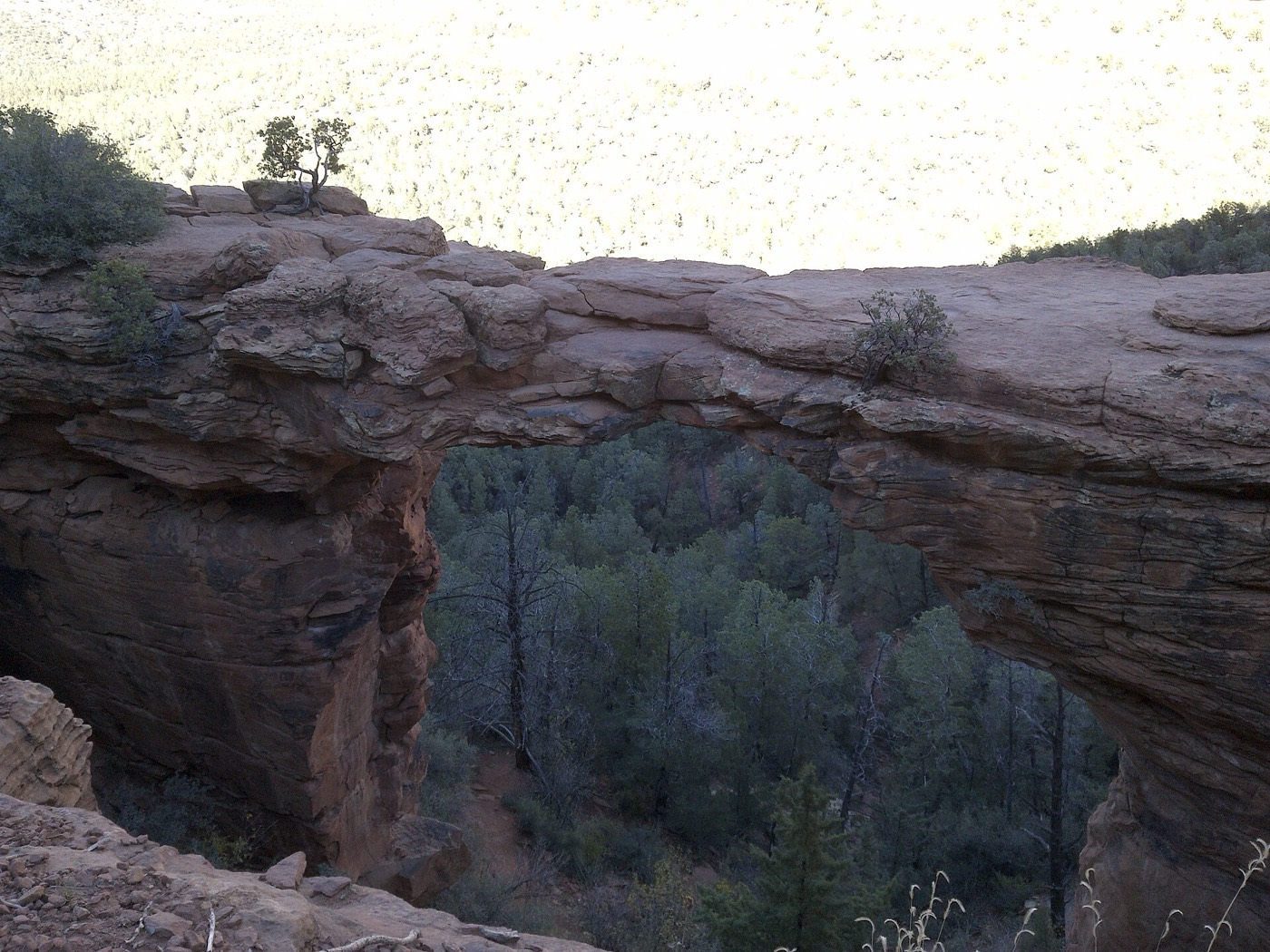
Cathedral Rock Trail

1–2 hours · Strenuous

Short and very steep, with a hands-on scramble up slickrock to a saddle between the spires.
Greenery highlights a photo of Bell Rock in Sedona, standing tall in the distance.HikesFree

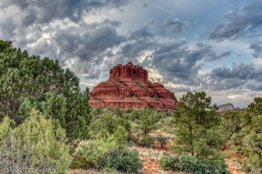
Bell Rock Pathway

Pick your length · Easy

A wide, mostly easy path around one of Sedona's best-known vortex sites.
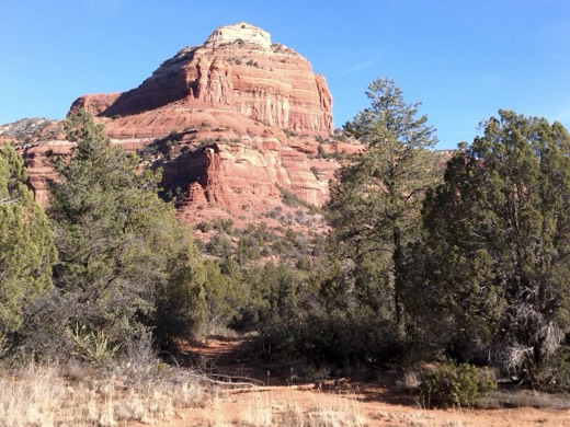
Boynton Canyon Trail, Sedona, ArizonaHikesFree

Boynton Canyon Trail

3–4 hours · Moderate

A long, gentle canyon walk, with a short side trail to the Boynton vortex.
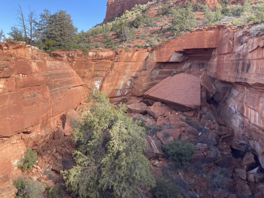
Devil's Kitchen Sinkhole in Sedona, ArizonaHikesFree

Soldier Pass Trail

About 2.5 hours · Moderate

See the Devil's Kitchen sinkhole and the Seven Sacred Pools on one trail.
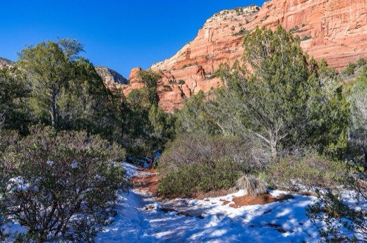
Fay Canyon is a favorite hike for many who prefer a shorter hike with minimal elevation gain or who enjoy the grandeur of red sandstone wallHikesFree

Fay Canyon Trail

About 1 hour · Easy

A flat, gentle box-canyon walk that ends at a red cliff. A great first hike.
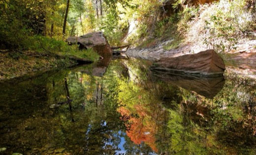
West Fork of Oak Creek. For more information on hiking at this location, visit www.fs.fed.us/r3/coconino/recreation/red_rock/westfork-tr....Hikes$

West Fork of Oak Creek

3–4 hours · Moderate

A shady creek walk between tall canyon walls, famous for autumn colour.
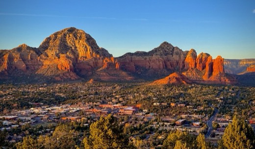
West Sedona, Capitol Butte(Thunder Mountain), & Coffee Pot Rock seen from Sedona’s Airport Mesa Scenic Overlook at sunsetViews and landmarksFree

Airport Mesa

30 min–2 hours · Easy to moderate

Sedona's classic sunset spot and a well-known vortex site, with an optional loop hike.